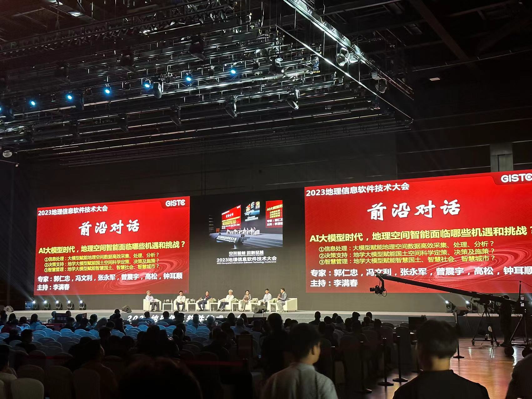
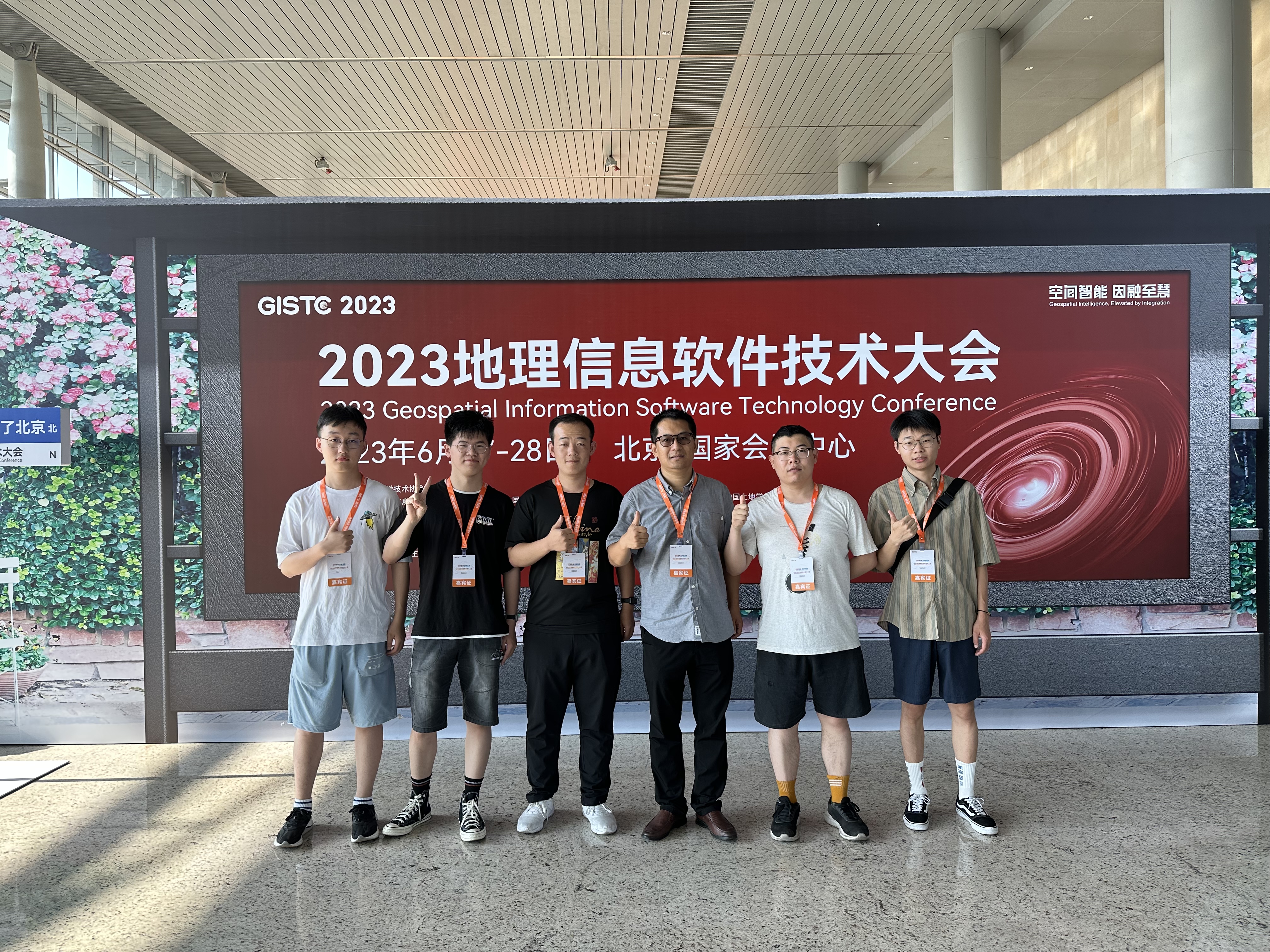
On June 27, 2023, the 2023 Geographic Information Software Technology Conference opened at the National Convention Center in Beijing. This two-day conference, with the theme of "Spatial Intelligence, Integration to Wisdom", aims to explore the future development direction of geographic information software. The conference has invited a number of academicians and experts who will give wonderful reports on the prospects of geographic information software. These experts will share their latest research results and application cases on geographic information technology, bringing cutting-edge industry insights to attendees. The conference attracted many professionals from the geographical information industry at home and abroad to actively participate in the conference. Researcher Shaohua Wang led his team to participate in this event.
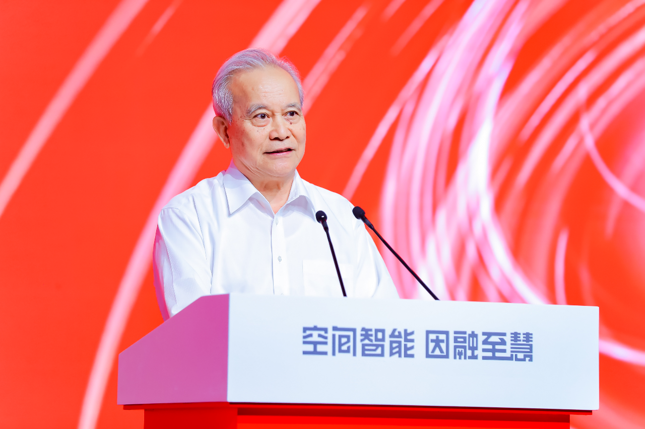
Qinmin Wang, Vice Chairman of the 12th National Committee of the Chinese People's Political Consultative Conference and Director of the National E-Government Expert Committee, attended the Geographic Information Software Technology Conference and delivered a keynote report "Accelerating the Construction of Digital China - Learning Experience from the Overall Layout Plan for the Construction of Digital China". He emphasized the fundamental and supporting key role of geographic information technology in the construction of Digital China.
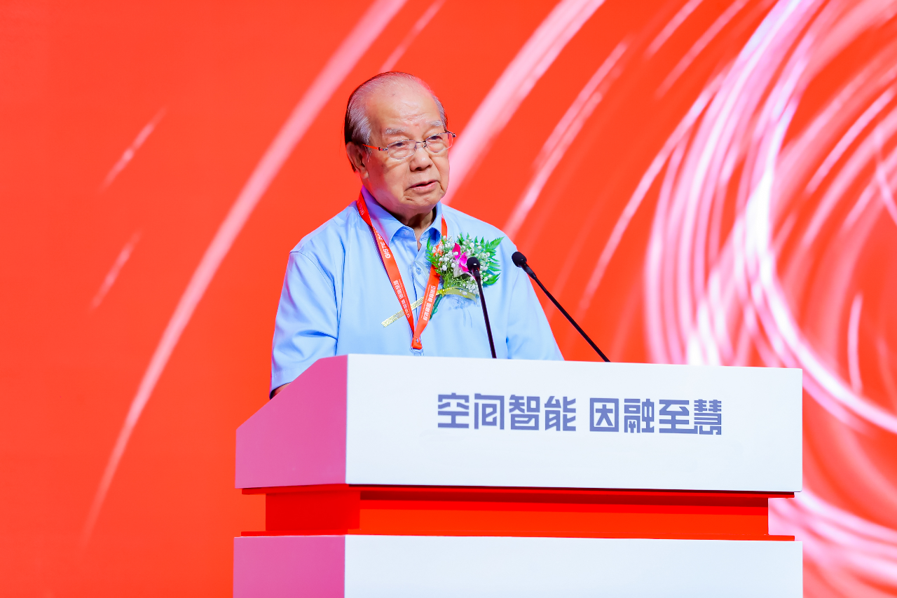
Qingxi Tong, academician of the Chinese Academy of Sciences and researcher at the Aerospace Information Innovation Institute, attended the conference and delivered a speech. He emphasized that remote sensing technology and GIS technology are inseparable, and pointed out that Hypergraph's entry into the field of remote sensing information processing software is of great significance, as it can realize the implementation of the full chain of remote sensing GIS applications and provide support to meet the application needs of various industries.
Chaozhi Song, Chairman of the Chinese Society of Surveying and Mapping, emphasized the importance of the critical period of digital transformation, as well as the cross-border integration and innovative development of the field of surveying and mapping geographic information. Song Chaozhi believes that surveying and mapping will further rely on artificial intelligence technology, and mentioned the new challenges that artificial intelligence brings to surveying and mapping geographic information technology.
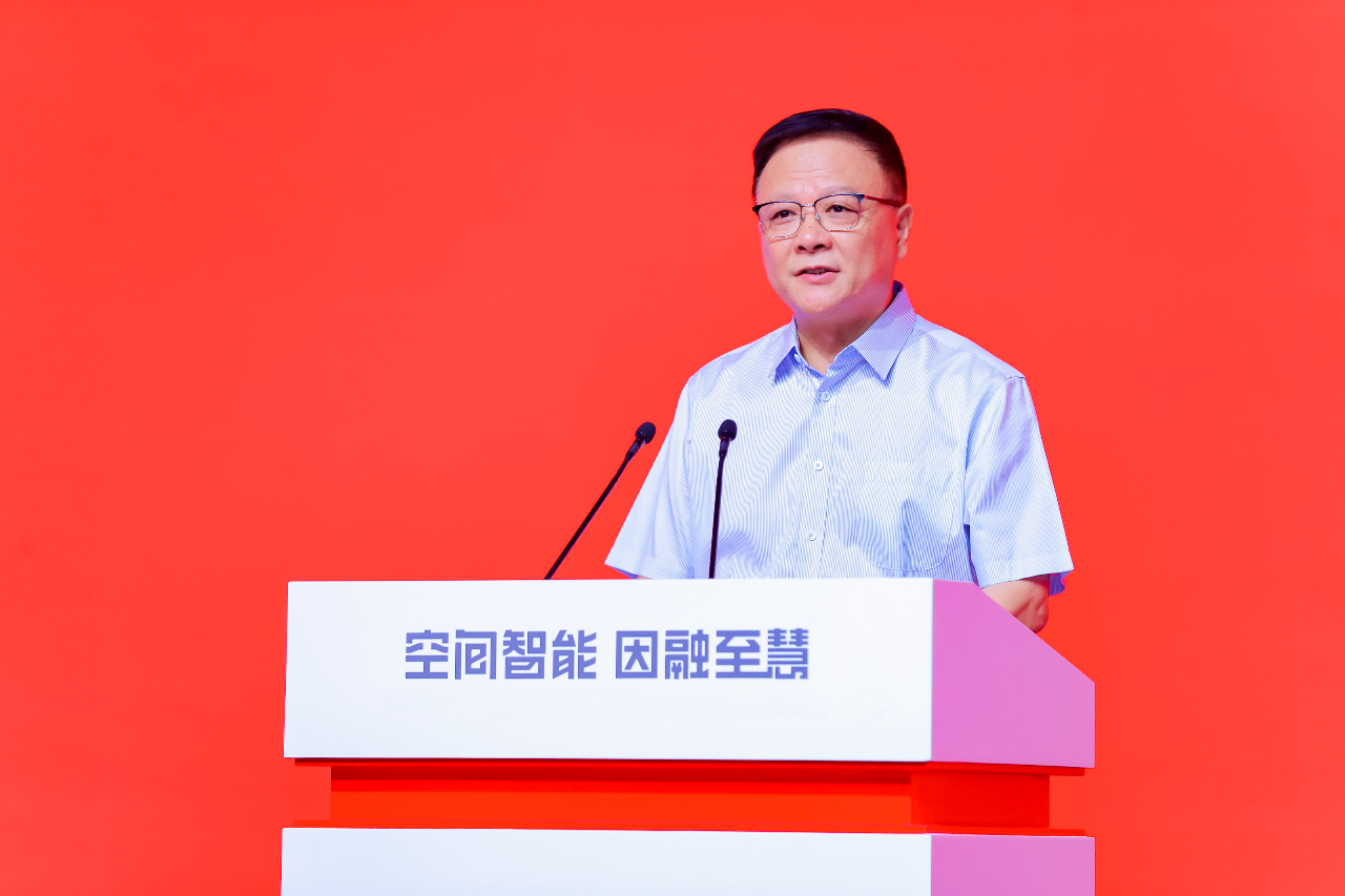
Immediately afterwards, Jun Chen, academician of the Chinese Academy of Engineering and leader of the expert group for real-life three-dimensional China construction of the Ministry of Natural Resources, gave a report on "Overall Technical Research and Progress of Real-life Three-dimensional China Construction", and Yang Cai, director of the Information Center of the Ministry of Water Resources and director of the Cyberspace Administration of China, made a report "Building a Digital Twin Water Conservancy System Based on Xinchuang Environment" report. Guanfu Song, director of the Geographic Information System Technology Innovation Center of the Ministry of Natural Resources and chairman of SuperMap Software Group, made a report on "Remote Sensing GIS Integration, Accelerating from Spatial Data to Spatial Intelligence", jointly It demonstrated the research and progress of real-life 3D construction, digital twin water conservancy and remote sensing GIS integration in the field of geographical information. This conference has a special "Frontier Dialogue" session, hosted by Professor Manchun Li. Guests include Academician Renzhong Guo, Dean Wenli Feng, Dean Yongjun Zhang, Professor Song Gao, Vice President Zhenyu Zeng, and Chairman Ershun Zhong, discussing AI and geographic information technology. Cross-border integration and its opportunities and challenges in spatial intelligence applications.
