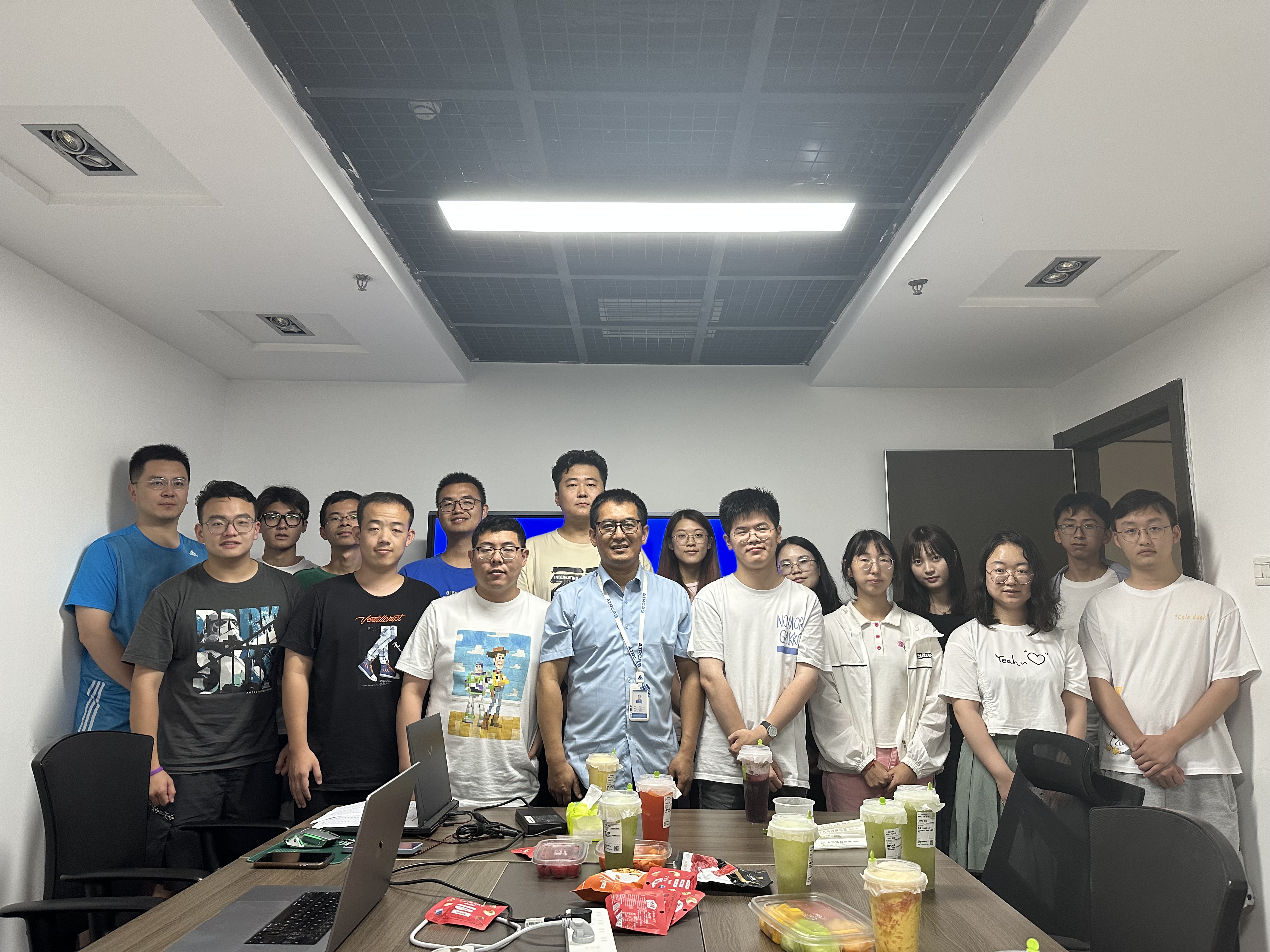
Who are we
We are dedicated to utilizing advanced computational methods and artificial intelligence techniques to analyze and process spatio-temporal big data, enabling intelligent decision-making and optimization of spatial environments. Through the analysis of spatio-temporal big data, we uncover key information and trends to provide reliable foundations for decision-making. With technologies such as deep learning and machine learning, we conduct research on remote sensing AI, remote sensing big data, and large-scale remote sensing models. This allows us to interpret remote sensing data and perform tasks such as land feature extraction, image classification, and object detection. In the field of sustainable development decision-making, we combine geospatial temporal big data with artificial intelligence to provide decision-makers with data-driven support, facilitating the formulation of sustainable spatial decisions and policies.
Our goal
Our goal is to promote the intersection of geospatial science and artificial intelligence, providing innovative solutions to achieve smart cities and sustainable development objectives.